The Trans-Mexican Volcanic Belt runs through Mexico City, offering countless attractions, including colorful culture, world-class museums, unique neighborhoods, art markets, street tacos, nightclubs, and various performances. Consider adding hiking to your cultural and culinary journey because within two hours’ drive from Mexico City, you’ll find plenty of great hiking destinations. The city sits within the Trans-Mexican Volcanic Belt, which stretches over 900 kilometers and is home to several peaks exceeding 4,000 meters in altitude. On clear days, you can spot two towering peaks: Iztaccihuatl, whose summit is sometimes snow-capped, and the still-active Popocatépetl, which occasionally emits smoke. Locals refer to them as Izta and Popo. Here are three classic hiking routes to consider.
Friendly Reminders
Mexico City itself sits at 2,240 meters above sea level, which may not cause discomfort, but the surrounding hikes involve higher altitudes. It’s recommended to give yourself a few days to acclimate.
If you’re visiting between June and September, keep in mind that this is the rainy season. Proper planning is essential to avoid slippery and unsafe conditions.
I don’t recommend hiking alone, not because of safety concerns — tourist areas in Mexico are generally very safe. However, for high-altitude hikes, it’s better to have someone accompany you.
Nevado De Toluca
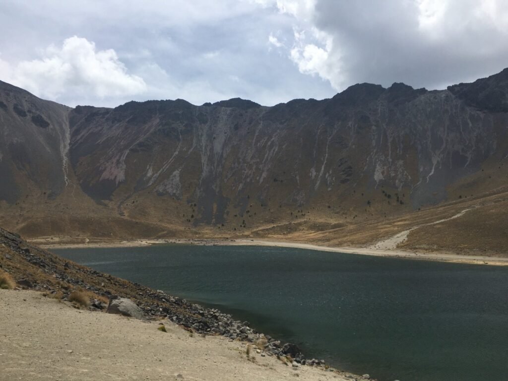
Nevado De Toluca is my top recommendation. It is the fourth-highest peak in Mexico, located near the city of Toluca, about 80 kilometers southwest of Mexico City. At the summit, there is a massive volcanic crater with two lakes: the larger Lake of the Sun and the smaller Lake of the Moon. The highest peak is Friar’s Peak, standing at 4,680 meters, followed closely by Eagle’s Peak, just 20 meters shorter. Due to the consistently low temperatures and occasional snowfall, it’s often the first place where many people from Mexico City experience snow.


Transportation
If you don’t join a guided day tour with transportation included, head to the Observatorio Bus Station. There is a CDMX Metro stop there. Buy a ticket to Toluca on an ETN bus, which costs around 100 pesos. Upon arrival at Toluca Station, you can take an Uber or taxi, with fares starting at approximately 500 pesos. Be sure to arrange a pickup time and negotiate the return fare as well.
Route
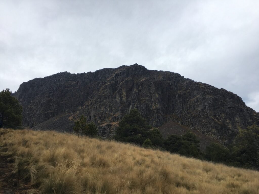
The trail can be steep and challenging at times, though it doesn’t require any climbing equipment. Like many mountains in Mexico, the paths are covered with loose stones, making it easy to slip, so tread carefully. If possible, bring a helmet and trekking poles. The most popular route is Pico Del Fraile, and it’s recommended to download the map from AllTrails, as there is no cell signal in the mountains.
When I went, I joined a specialized outdoor hiking group and took on a more challenging 15-kilometer route, which was incredibly rewarding. Make sure to wear layered clothing — it feels cold without sunlight, warm while hiking, and cold again when the wind picks up. Bringing plenty of water and snacks to maintain your energy is essential.


Cumbres Del Ajusco National Park
Ajusco National Park lies within the jurisdiction of Mexico City, just an hour and a half from the city center and close to UNAM, Mexico’s top university. It’s a popular weekend hiking destination for locals, featuring two peaks, both marked with crosses. The highest, Aguila Summit, stands at 3,930 meters and is the highest point within Mexico City’s limits.
The hike is not too difficult, although there are plenty of loose rocks, making it easy to slip if you’re not careful. Some sections are quite steep, but overall, it’s easier than Nevado de Toluca. While the collapsed volcanic crater is not easily recognizable, the view from the summit is spectacular. From the top, you can see the UNAM stadium and the sprawling metropolis beneath you. On a clear day, you can also spot three nearby peaks: Nevado de Toluca, Popocatépetl, and Iztaccihuatl.
Transportation
Take a bus from Metro Universidad (UNAM) to San Miguel Ajusco, and from there, grab an Uber or taxi for the 20-minute ride to the park entrance.
Route
The classic trail is a six-kilometer loop that passes both peaks. There is no cell signal, so make sure to download the map in advance. On weekends, the trail can be busy, so you can easily follow the crowds. Wear layered clothing to adjust for the changing temperatures as you hike.


Iztaccihuatl (Izta)
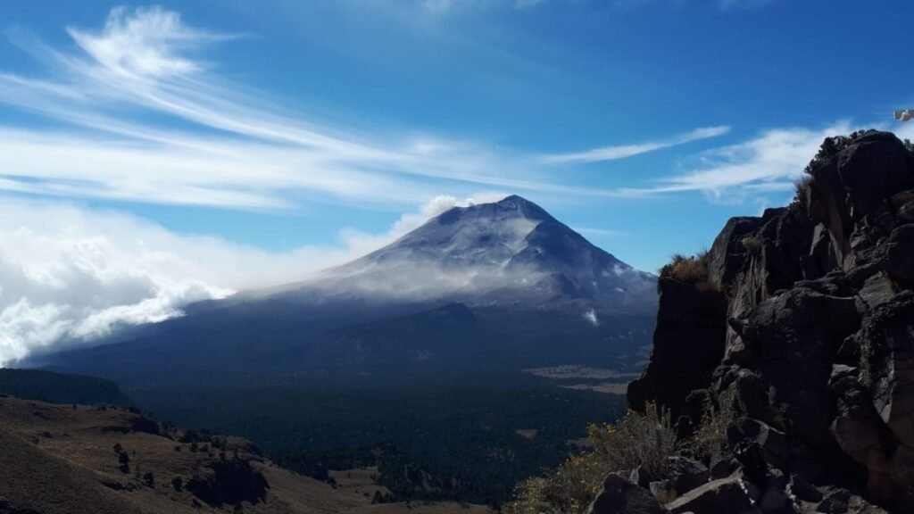
On clear days, you can see the active volcano Popocatepetl (Popo) from Mexico City, along with the snow-capped Iztaccihuatl (Izta), the second- and third-highest peaks in Mexico, respectively. Popo, as an active volcano, is off-limits to climbers. I once had a picnic on the lawn of a colleague’s vacation home near Popo and could feel the ground vibrating, like a pulse. During last year’s eruption, the ash disrupted flights at Mexico City’s airport.
Hiking and climbing activities are focused on Izta and the Paseo de Cortés, the pass between the two volcanoes. This was the route the Spanish conquerors used to gaze upon the Valley of Mexico for the first time, back when Mexico City was still a lake.
Climbing to Izta’s summit is highly challenging, requiring a midnight start, technical skills, and the ability to handle high altitudes. Getting lost would make the journey even harder, so a local guide is essential. Though the scenery here is stunning, I list this option last because of the difficulty.
You can drive to Izta, which takes about two hours. You’ll need to stop at a park office to buy tickets before continuing to La Joya Gate, the starting point for the climb. If traveling by bus, you’ll need to go to Puebla first, but I recommend two alternatives. The first is to join a Guided Izta Volcano Trek from Mexico City, with a designated meeting point and a two-hour hike suitable for the general public. The second option is to hire a guide for a more extended climb.


A Complete Mexico City Vacation
If you plan to go hiking in Mexico City but need a few days to acclimate to the altitude, there are countless activities to fill your time. Here are some ideas that cater to every interest:
- Museo Nacional de Antropología (National Museum of Anthropology): This world-class museum houses an impressive collection from Mexico’s major ancient civilizations.
- Explore La Condesa and Roma Norte: These vibrant neighborhoods are full of restaurants, cafés, bars, and nightclubs — many with rooftop spaces.
- Attend a Lucha Libre Match: Experience Mexico’s wrestling spectacle, similar to WWE SmackDown in the U.S., or catch a show at the Palacio de Bellas Artes, where traditional Mexican dance performances are a must-see.
- Xochimilco: Cruise through Mexico’s canals accompanied by music and tequila, or wake up early to kayak at sunrise in this picturesque water town.
- Tour the Historic Center: Visit Mexico City’s largest cathedral and explore the government district, including the National Palace.
- Visit Coyoacan and San Angel: Head south to discover the charm of Coyoacan, home to the Frida Kahlo Museum, and wander the quaint San Angel neighborhood.
- Explore Teotihuacan: Travel outside the city to explore this ancient pre-Hispanic city. To this day, the origins of Teotihuacan remain a mystery. Its massive pyramids are some of the best-preserved and restored in all of Mexico.


