When you think of Colombia, what comes to mind? Guerrillas? Drug lords? Drugs? These were once common impressions of Colombia, but today, Colombia has emerged as a vibrant tourist destination in South America, especially Medellín.
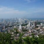
Since the fall of the infamous drug lord Pablo Escobar, Bogotá has undergone a remarkable transformation over the past 20 years. In 2016, it was awarded the Lee Kuan Yew World City Prize by the Singapore government, recognizing its livability and urban development.
With its year-round spring-like weather and affordable cost of living, Bogotá has earned widespread recognition among digital nomads, becoming the Latin American equivalent of Chiang Mai.
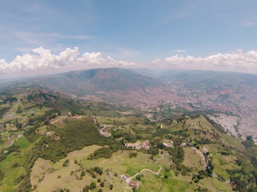
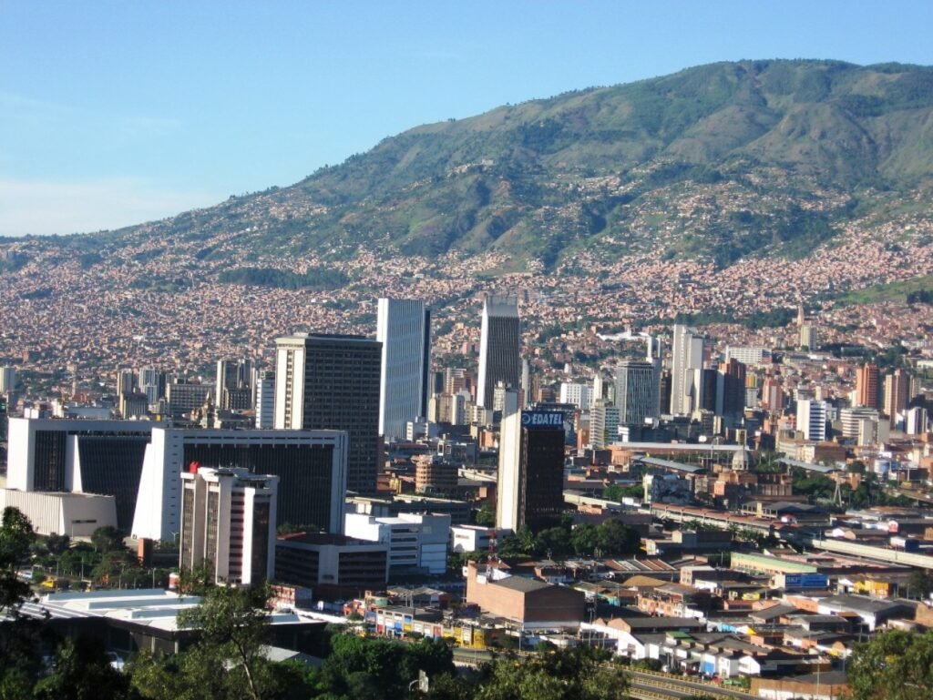
Medellín, Colombia’s second-largest city, is located in the northern Andes of South America. In 2008, its population was 2.28 million. Medellín is also the core of the Medellín Metropolitan Area, which has over 3 million people and was ranked 62nd in the world in 2005.
In the 21st century, with the development of the Medellín Metro, industrial growth, and improvements in safety and education, Medellín has become a tourist city with a more international vibe.
The economy of the Medellín Metropolitan Area accounts for 67% of Antioquia Province’s GDP and 11% of the national GDP. Medellín is a key hub for universities, commerce, industry, technology, and is also known for its festivals and nightlife. Famous artist Fernando Botero and Latin Grammy-winning rock musician Juanes were born here.
Medellín covers an area of 382 square kilometers and sits at an elevation of 1,538 meters. The Medellín River flows through the city, heading north. Due to its elevation of over 1,500 meters, Medellín’s climate is not as hot as other equatorial cities. It has a subtropical climate rather than a tropical one, with an average annual temperature of 22°C. Because it’s close to the equator, temperatures remain fairly constant throughout the year, fluctuating only between 15°C and 30°C. Its mild spring-like climate has earned it the nickname “The City of Eternal Spring” (La Ciudad de la Eterna Primavera).
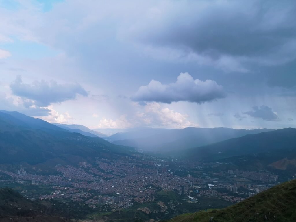
As soon as I got off the plane, I immediately felt the change in altitude. Since I live in a low-altitude city, I wasn’t quite used to it. It wasn’t just the altitude, though—the change in climate made the city feel cool and really comfortable.
Medellín Cable Car
The Metrocable is a cable car system implemented by the Medellín City Council in Colombia, designed to provide supplemental transportation to the Medellín Metro. Its primary purpose is to reach some informal settlements located on the city’s steep hillsides, which are a defining feature of the local terrain. It’s widely regarded as the first urban cable-propelled transit system in South America. Given the challenging geography of the region, the city had spent decades planning some form of transportation before finally putting it into action.
I never expected to find cable cars in Colombia, but I later learned that this system was specially built for the benefit of the people living in the hillside neighborhoods. The entire cable car network stretches nearly 15 kilometers, and riding the full route takes around 45 minutes. What surprised me the most along the way was seeing that, despite living up in the hills, the residents have access to a hospital.


We’re back to the very first sentence of this travel journal: guerrillas, drug lords, and narcotics. This estate used to be the home of a notorious Colombian drug lord—someone so infamous that his name is known worldwide. You could say he practically ruled Colombia with an iron fist. At one point, he even planned to run for president of Colombia, though in the end, he didn’t win.
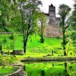
Naples Estate (Hacienda Nápoles) is a luxurious private estate built by the Colombian drug lord Pablo Escobar in Puerto Triunfo, Antioquia Province.
It’s located about 150 kilometers east of Medellín and around 249 kilometers northwest of Bogotá. The estate covers an area of approximately 20 square kilometers. After Escobar’s death in 1993, many of the original structures and properties were either destroyed or repurposed for other uses.
The estate features a Spanish colonial-style house, a sculpture park, and a fully equipped zoo. It hosts a wide variety of animals from around the world, including antelopes, elephants, exotic birds, giraffes, hippos, ostriches, and miniature horses.


The Rock of Guatapé
The Rock of Guatapé, also known as “El Peñol Rock” (Spanish: Piedra del Peñol), or simply “La Piedra,” is a massive monolith located in the department of Antioquia, Colombia. It sits 86 kilometers northeast of Medellín, near the towns of Guatapé and El Peñol.
The rock’s southeastern summit reaches an elevation of 2,135 meters above sea level, with an average temperature of 18°C (64°F). The rock itself stands around 220 meters high, stretches 385 meters in length, and contains 22 million cubic meters of stone, weighing approximately 66 million tons. It is primarily composed of quartz, feldspar, and mica. A prominent feature is the zigzagging staircase built within one of the crevices, consisting of about 649 steps.
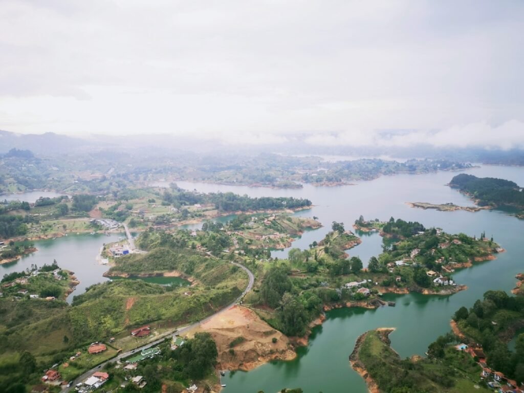
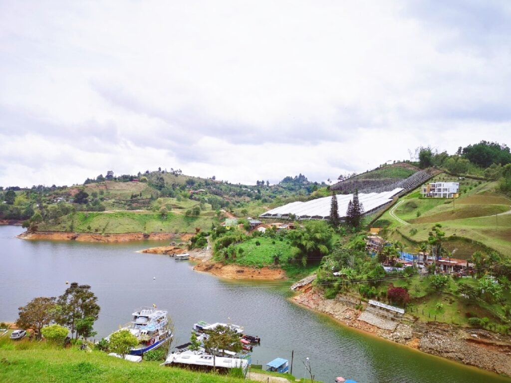
The rock overlooks the reservoir of the Peñol-Guatapé Hydroelectric Plant, serving as both a boundary marker between rural farms and a landmark dividing the regions of Guatapé and El Peñol. It is just a five-minute drive from the town of Guatapé, with direct road access.
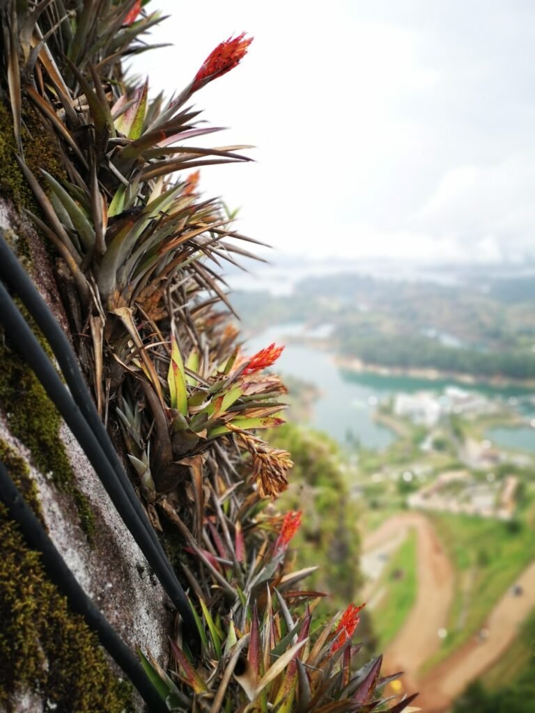
Climbing to the top of the rock requires traversing 740 steps, and at the summit, there is a viewing platform offering panoramic views of the surrounding reservoir, which spans 500 kilometers in circumference. At the top, visitors can also buy local crafts, postcards, and other souvenirs. Interestingly, a new plant species, named Pitcairma heterophila by a German scientist, was discovered at the summit.
The rock remains privately owned by a local family, and the entrance fee for visitors is about $2.
Geologically, the rock rests on the Antioquia Batholith (Spanish: batolito antioqueño), which formed millions of years ago. Historically, the indigenous Tahamí people revered the rock, referring to it as “mojarrá” or “mujará,” meaning “rock” in their language.
The first official ascent of the rock took place in July 1954. Three climbers—Luis Villegas, Pedro Nel Ramírez, and Ramón Díaz—used sticks inserted into the rock’s cracks to make the climb, reaching the top after five days. The staircase was built later to allow easier access.
A curious feature on the northern face of the rock is the presence of large, white letters: an incomplete “G” and part of a “U.” This traces back to a long-standing ownership dispute between the towns of Guatapé and El Peñol. Guatapé residents once tried to paint their town’s name on the rock, but when residents of El Peñol discovered the act, they gathered a group to stop it, resulting in only part of the letters being completed.
In the 1940s, the Colombian government designated the rock as a national monument.


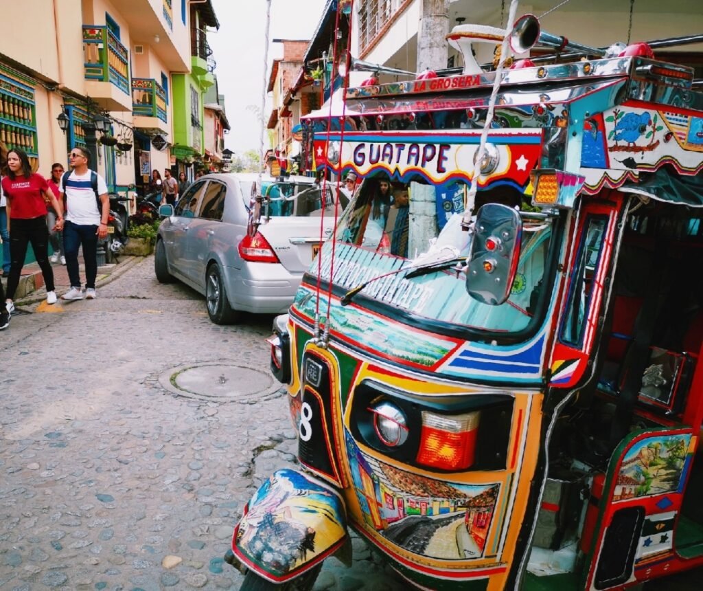
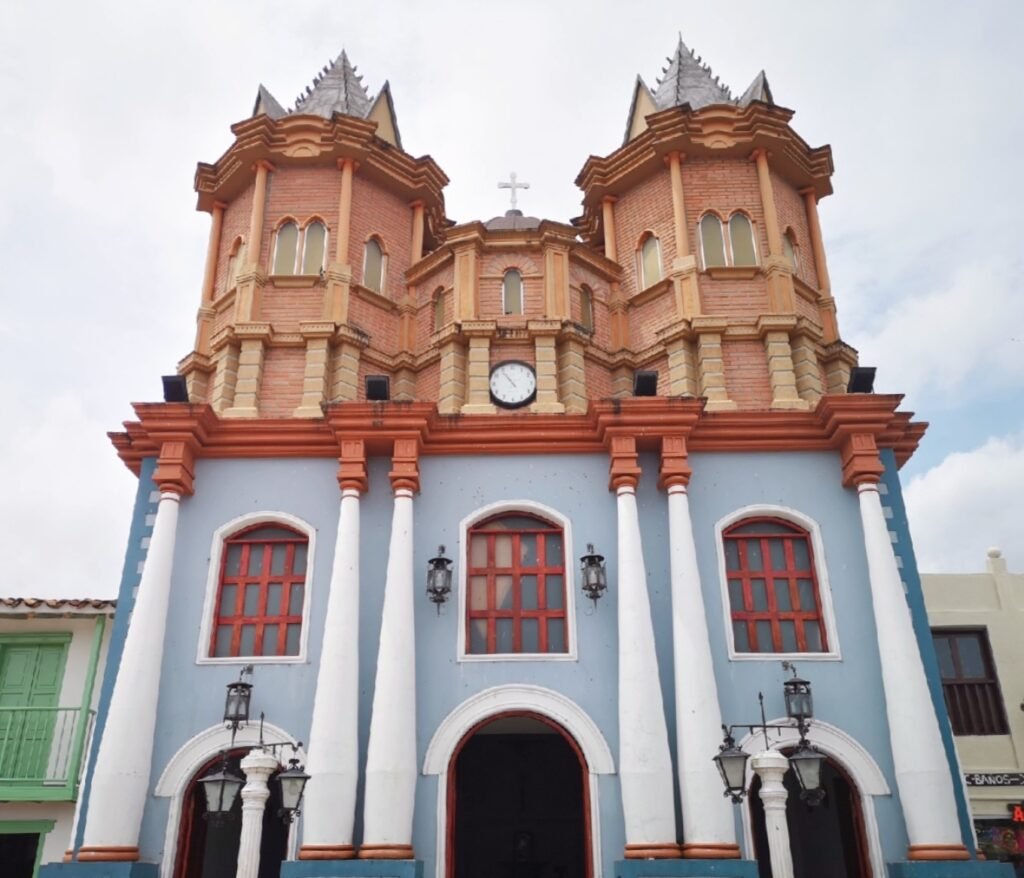
The small town of Guatapé, just outside Medellín, instantly captivated me with its colorful and picturesque charm as soon as I arrived at the entrance.
Riding in a uniquely local open-air vehicle and grooving to rhythmic Latin tunes, we arrived at a coffee farm. The host warmly welcomed us with coffee, and our guide took us to the back of the house to experience the coffee picking, sorting, and planting process. She also explained and demonstrated the coffee production process. As one of the top coffee-producing countries in the world, Colombia’s exceptional coffee quality is closely tied to its ideal geography and climate, as well as the ongoing exploration and discovery by the locals.